Bonus - Aggregations
Once you have a per-intersection walkability measure, you can aggregate it to different geographic levels and compare across scenarios. These bonus tasks are less guided than the main exercise. Use what you’ve learned so far to figure out the workflow.
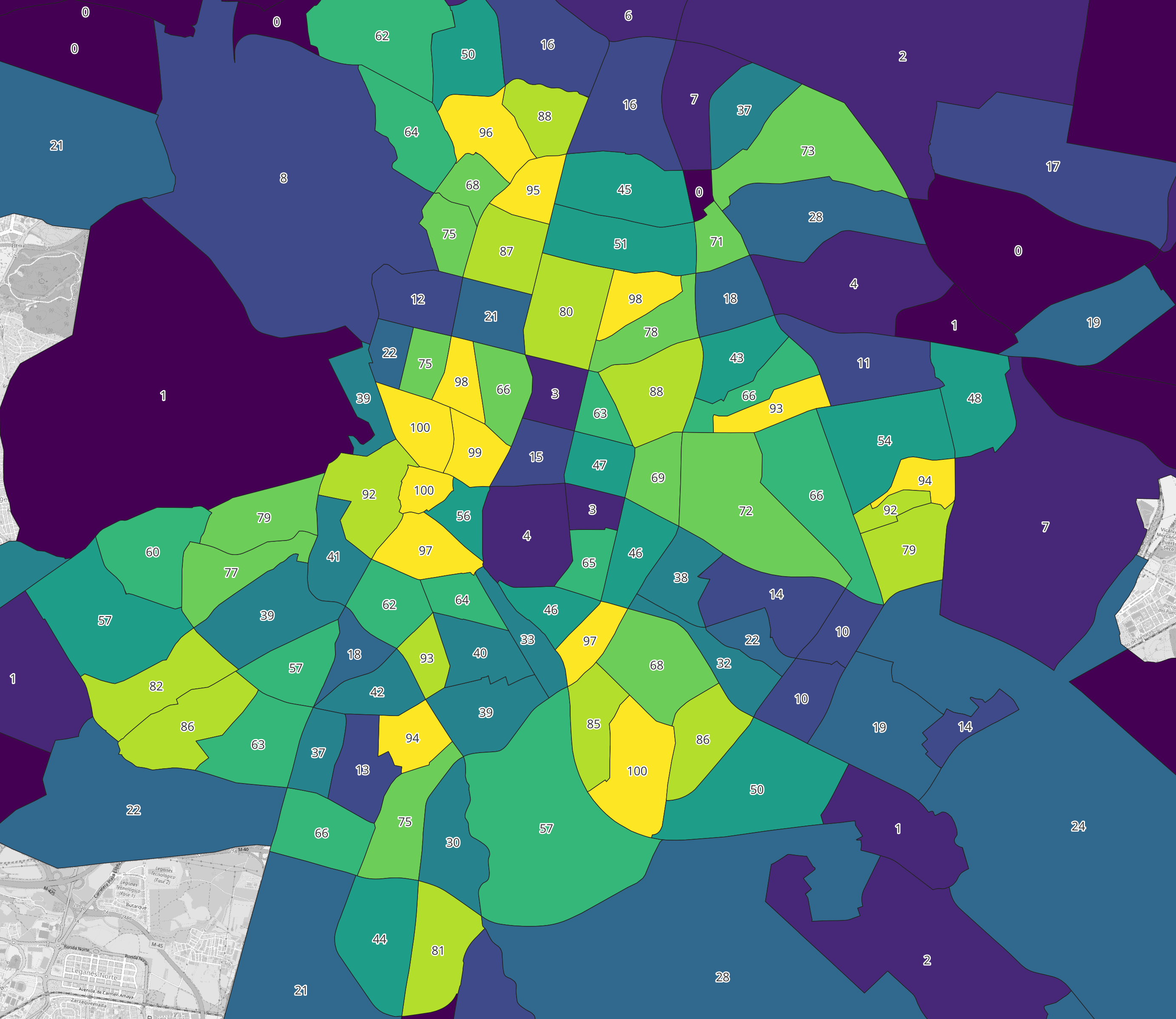
Aggregation by neighbourhood
Two questions:
- What percentage of intersections in each neighbourhood meet the walkability thresholds?
- Which neighbourhoods score highest, and which score lowest?
Download the neighbourhood boundaries from the datasets page. You’ll need a spatial join to assign intersections to neighbourhoods, then a way to calculate the percentage of walkable intersections per neighbourhood.
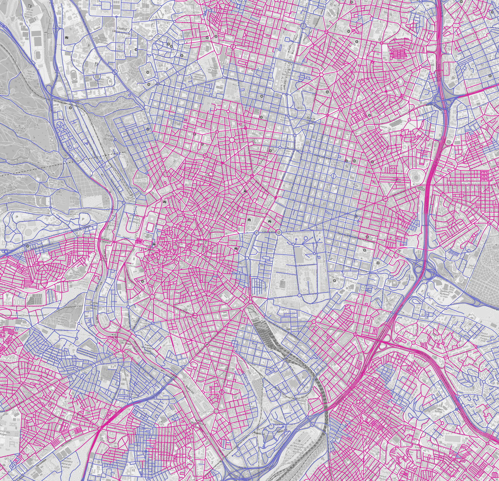
Aggregation by streets
Intersections sit at the junctions of street segments. Can you distribute the walkability value back onto the streets themselves?
Think about how to decide whether a street segment is walkable based on the condition of its junctions. Should both endpoints meet the threshold? Just one? Consider which rule makes more sense and try it.